
Precision Surveying for Transportation Infrastructure
Earth View Dynamics provides surveying solutions for roads, highways, tunnels and railway projects, supporting engineering teams with accurate field measurements and project data.
Transportation infrastructure requires accurate information about alignment, terrain, levels, profiles and existing site conditions.
Road & Highway Survey
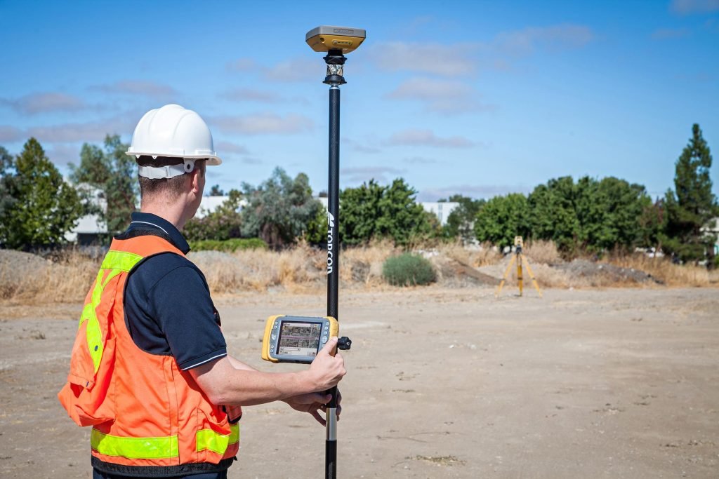
Road surveying involves collecting the appropriate level of field information required for engineering design and infrastructure development.
Our surveying solutions can support the collection of information required for: Route surveys, Alignment surveys, Longitudinal profiles, Cross-sections, Ground levels, Existing road conditions, Drainage-related features, Road corridor mapping, Construction planning, Engineering design support.
Road Survey & Design Support
Accurate survey measurements provide the foundation for developing geometric road information, including plans, profiles and cross-sections. Survey information can help connect proposed road development with the existing terrain and surrounding land conditions.
Tunnel Survey
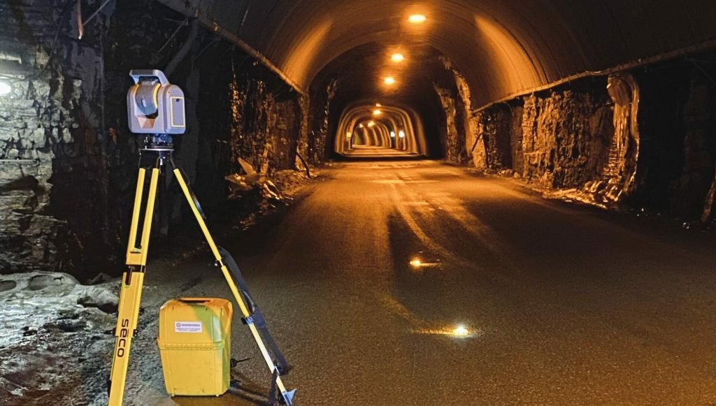
Tunnel projects require precise positioning and measurement because work is performed within constrained underground environments.
Surveying solutions can support: Tunnel alignment, Positioning, Elevation measurement, Dimensional surveys, Existing-condition documentation, Construction control, Tunnel mapping.
Railway Survey
Railway infrastructure requires accurate corridor and alignment information throughout planning and development.
Our railway surveying solutions can support: Railway corridor surveys, Alignment surveys, Elevation surveys, Cross-sections, Existing-condition mapping, Infrastructure development, Construction survey support.
Applications
Highways
Expressways
Roads
Railway corridors
Metro infrastructure
Tunnel projects
Transportation infrastructure
Civil engineering projects
Construction site surveys
Technology-Driven Surveying
Depending on project requirements, surveying workflows can incorporate modern positioning and measurement technologies to achieve the required accuracy and field coverage.
surveying
Start your infrastructure project with accurate survey data and dependable field measurements.
Whether you require a Topographical Survey, LiDAR Survey, Aerial Survey, or complete Geospatial Solutions, Earth View Dynamics is committed to delivering accurate data, advanced technology, and dependable support for projects across India.