
Faster & Smarter Mapping Through Aerial Survey Technology
Earth View Dynamics provides aerial surveying solutions for projects where comprehensive site coverage, visual documentation and efficient data collection are important.
Aerial Survey uses photographs and remotely captured data to collect information about the Earth’s surface. With modern UAV and drone technology, large areas can be surveyed efficiently while generating detailed imagery and spatial information.
What Is an Aerial Survey?
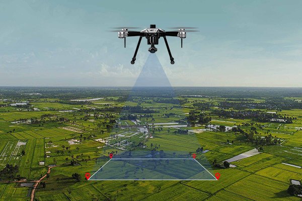
An aerial survey involves capturing images or other data from an aircraft or Unmanned Aerial Vehicle (UAV), followed by processing and interpretation to produce useful survey information.
Modern drone-based surveying can support the creation of maps, site models, project documentation and other spatial outputs.
Aerial Survey Applications
Our aerial surveying solutions can support: Land mapping, Construction monitoring, Infrastructure surveys, Mining and quarry projects, Large-area site mapping, Industrial site documentation, Terrain assessment, Project progress documentation, 3D site modelling, Visual site inspection.
Our Aerial Survey Process
Pre-Flight Planning
We establish the survey requirements, project area, flight parameters and data objectives before field operations begin.
Ground Control
Where required, suitable ground control is established to support accurate positioning and processing of aerial data.
Flight Planning
The flight path and coverage area are planned according to the project requirements and site conditions.
Image Capture
The UAV captures high-resolution aerial imagery across the designated survey area.
Data Processing
Captured imagery is processed to generate useful survey and mapping information.
Data Delivery
Processed information is organized into appropriate outputs according to the project's requirements.
Key Advantages
Accurate information about existing terrain allows project teams to make better decisions during planning and design. Reliable elevation, contour and feature data can help reduce uncertainty and provide a strong foundation for subsequent engineering work.
Large-Area Coverage Efficiently capture information across extensive project areas.
Aerial data collection can reduce the time required for certain large or difficult-to-access sites.
Detailed Information High-resolution imagery provides a comprehensive visual record of the area.
Digital Mapping Captured information can be processed into useful digital mapping outputs.
Discover how aerial surveying can help you capture detailed information across your project area.
Whether you require a Topographical Survey, LiDAR Survey, Aerial Survey, or complete Geospatial Solutions, Earth View Dynamics is committed to delivering accurate data, advanced technology, and dependable support for projects across India.