
Coming together from start to finish
Earth View Dynamics Established In the Year 2022. We Earth View Dynamics Is A Leading Wholesaler Traders And Service Provider Of A Wide Range Of Surveying & Levelling Instruments Like DGPS, Drone, Total Station Auto Level, Laser Level, Laser Distance Meter & Lab Testing Equipment’s.
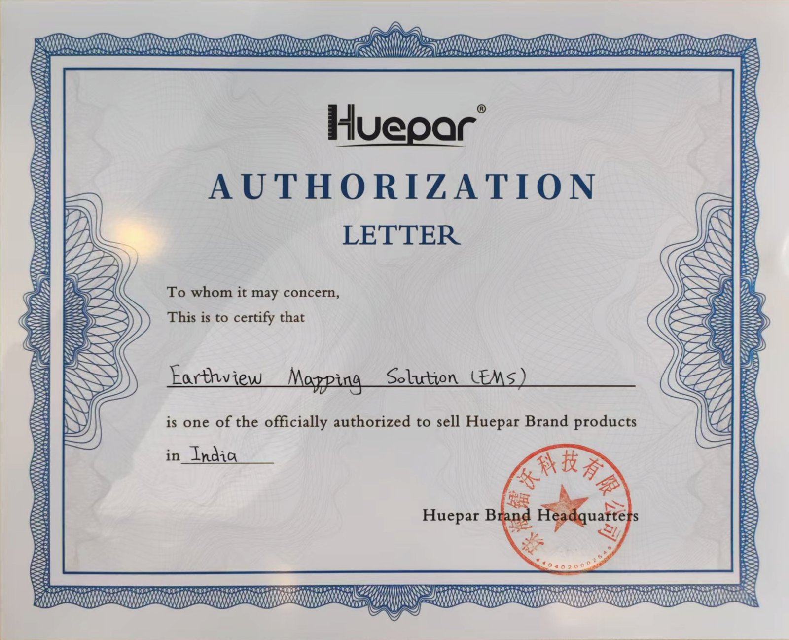
Earth View Dynamics A Authorise Distributor And Service Centre For KOLIDA And HUEPAR Brand. And An Dealer of SOKKIA, Leica & Garmin GPS.
Certificate
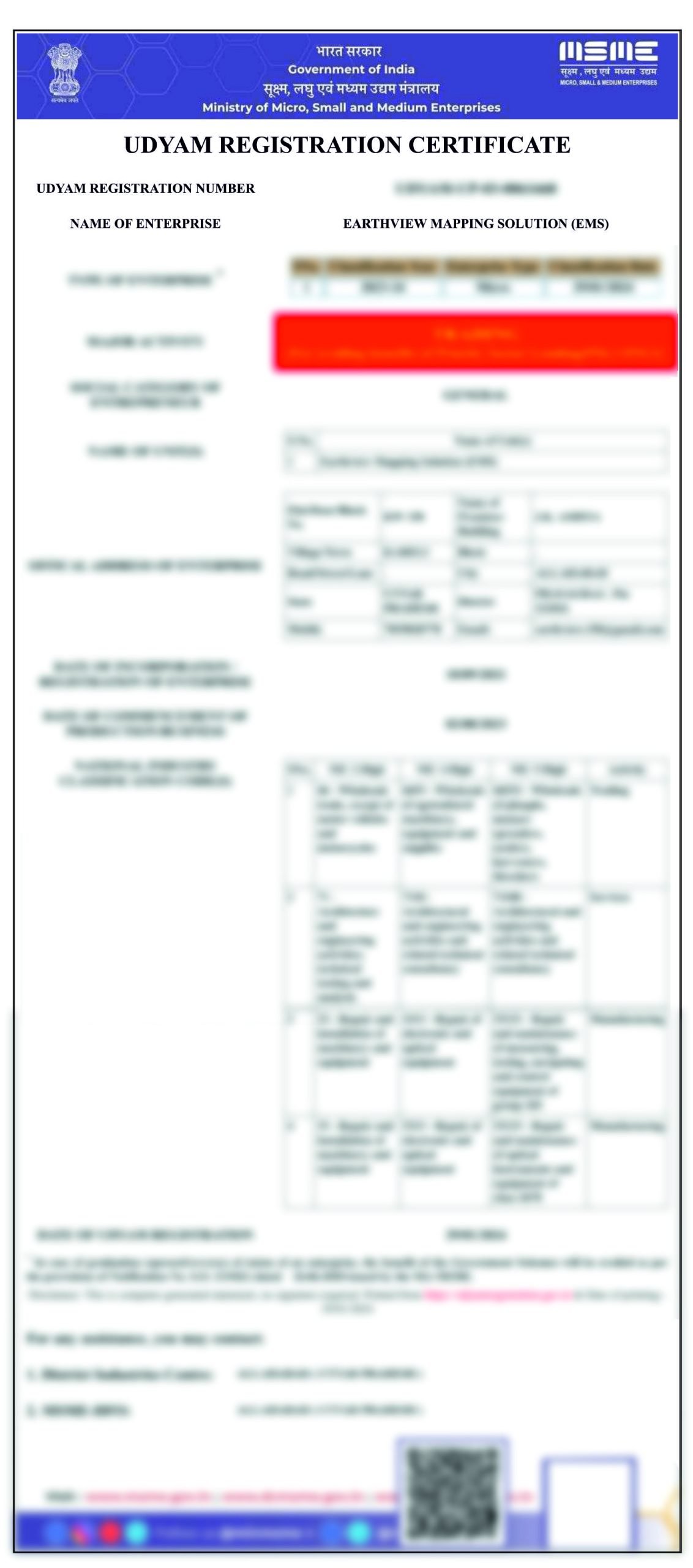
— UDYAM REGISTRATION CERTIFICATE
— HUEPAR AUTHORIZATION LETTER
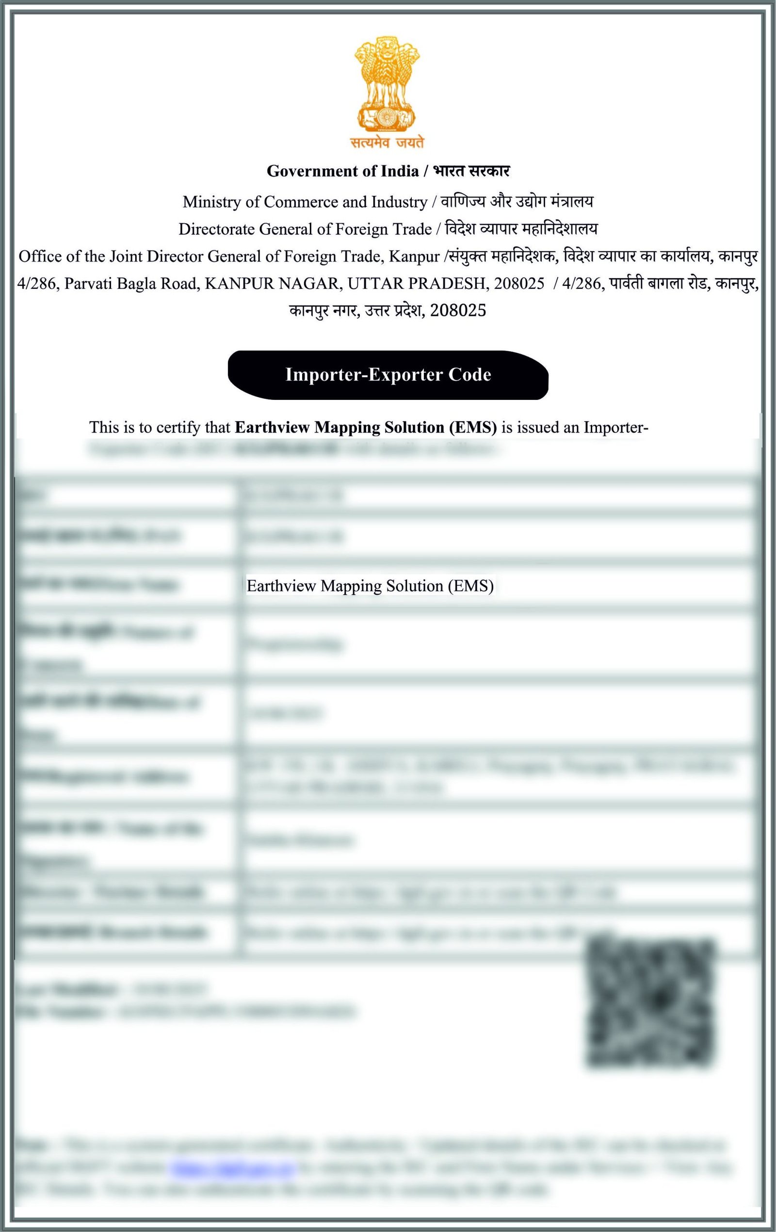
— IMPORTER-EXPORTER CODE
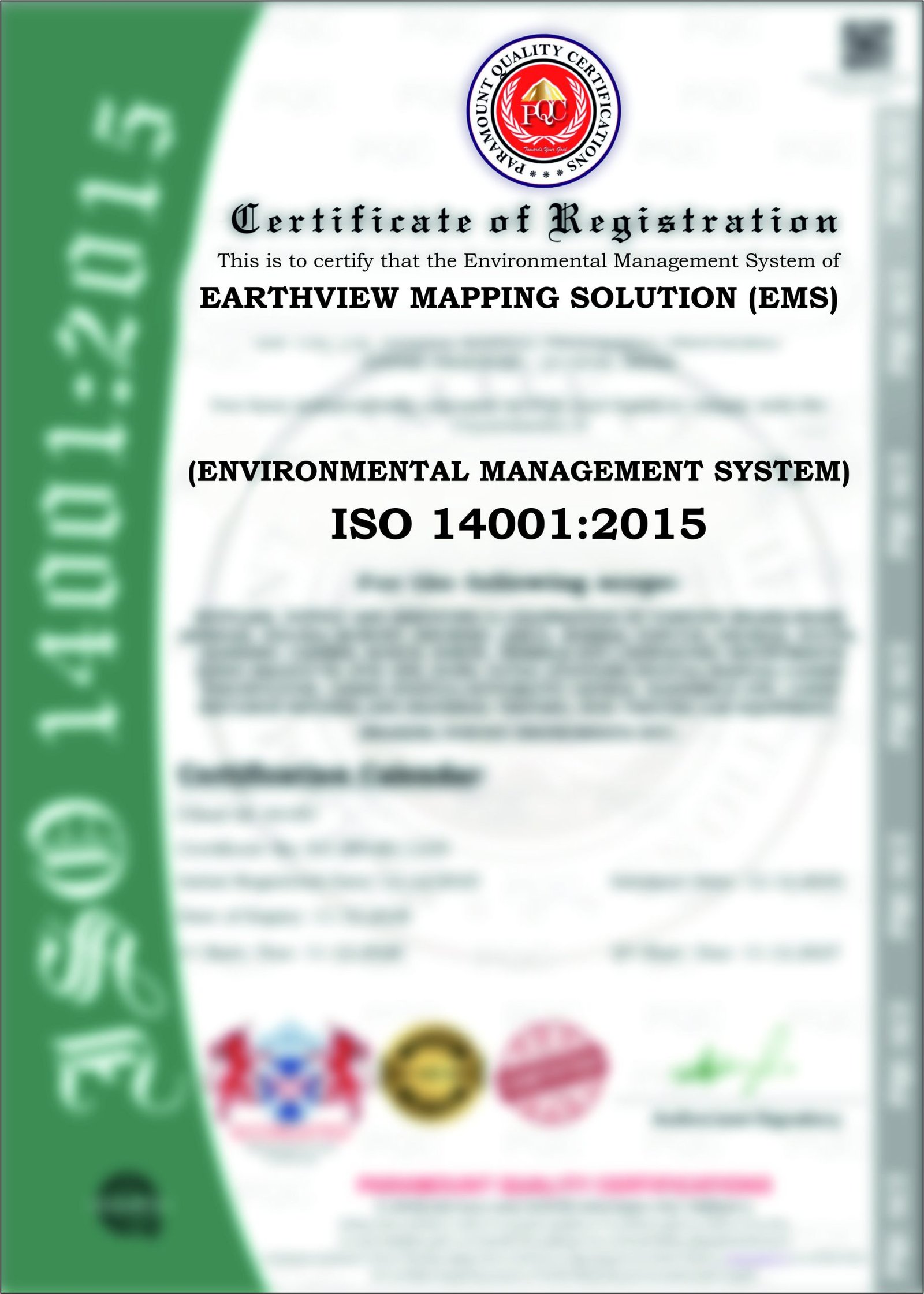
— ENVIRONMENTAL MANAGEMENT SYSTEM
— ISO 14001:2015
About Us
Our Philosophy
Our Mission
Our Vision
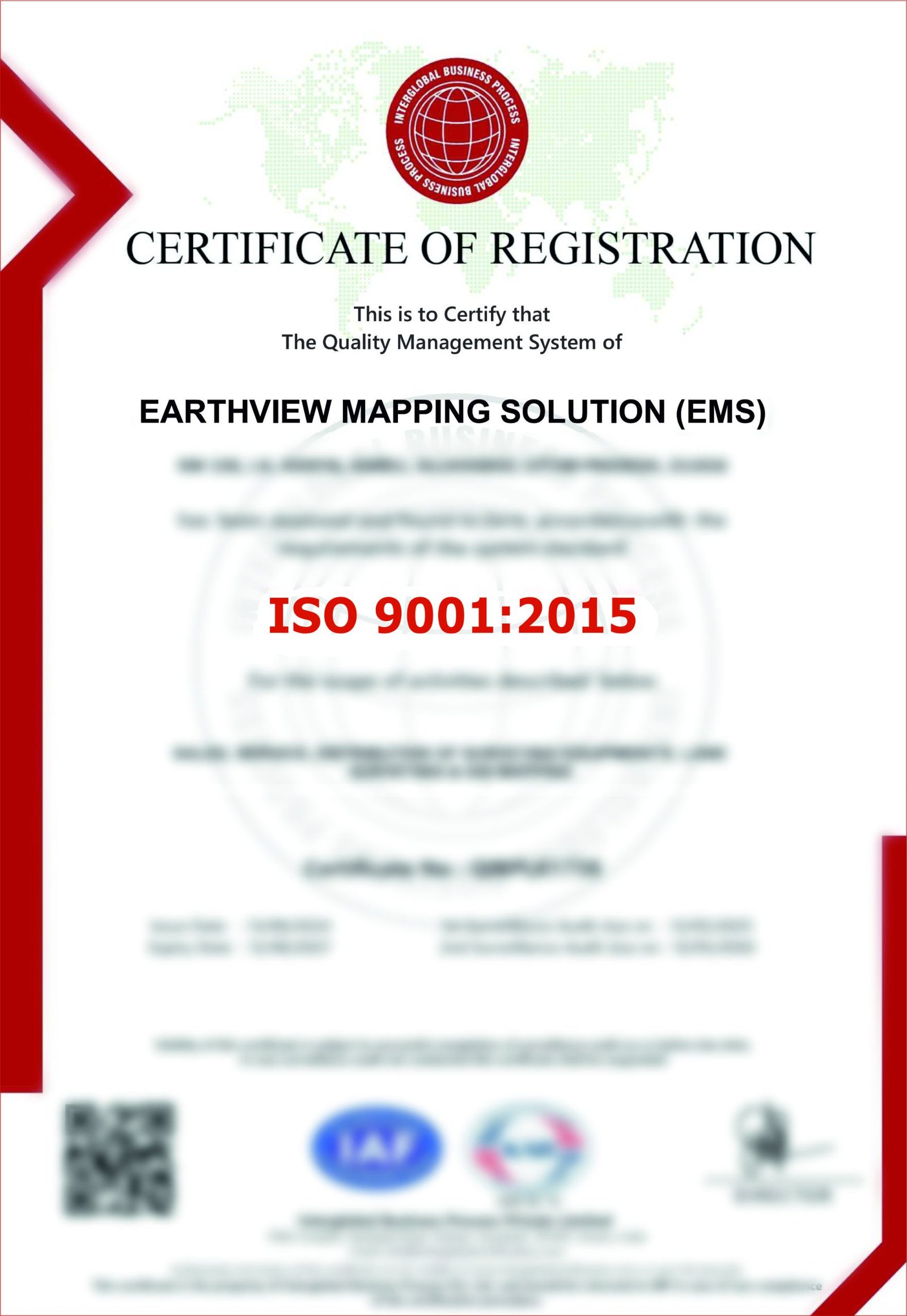
Certification
delivered
surveys
Industries We Serve
Our surveying and geospatial solutions can support a wide range of industries and project environments.
Surveying and spatial data for construction planning, site development and infrastructure projects.
Survey solutions for route planning, alignment, profiles, cross-sections and transportation infrastructure.
Surveying support for railway corridors, alignment, levels and infrastructure development.
Terrain mapping, LiDAR and spatial data solutions for mining and quarry environments.
Bathymetric and surveying solutions for rivers, reservoirs, canals and other water-related projects.
Surveying and mapping support for industrial facilities, site development and engineering requirements.
Spatial and surveying solutions for utility corridors, infrastructure planning and asset-related applications.
Technology-driven surveying and mapping solutions for public infrastructure and development projects.
Topographical, mapping and geospatial solutions for understanding existing land conditions and supporting development planning.
Tell us about your project, location and surveying requirements — our experts will recommend the most suitable solution for your needs.
Whether you require a Topographical Survey, LiDAR Survey, Aerial Survey, or complete Geospatial Solutions, Earth View Dynamics is committed to delivering accurate data, advanced technology, and dependable support for projects across India.
Drop us a line
Fill in this form or send us an e-mail with your inquiry.