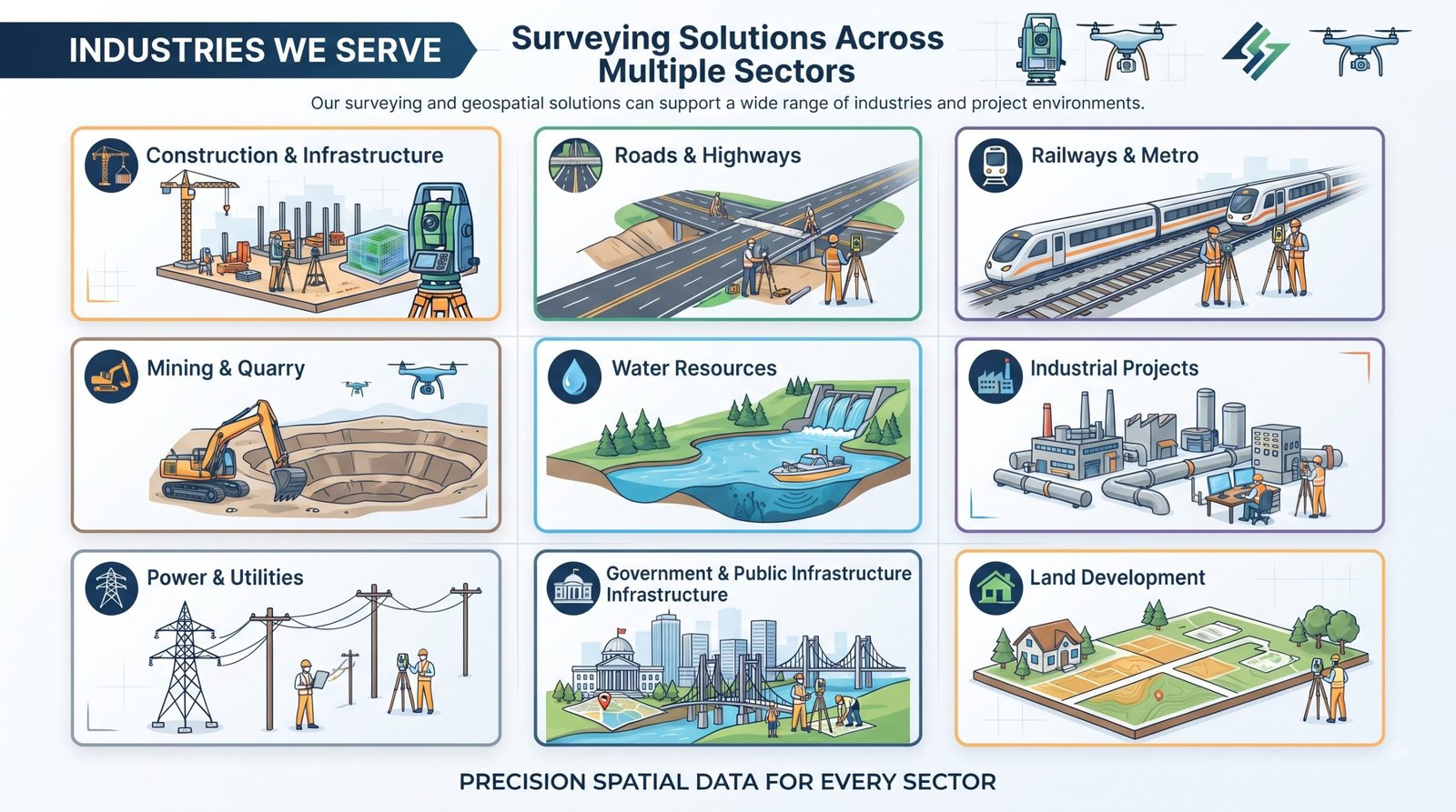
Precision That Shapes the Future.
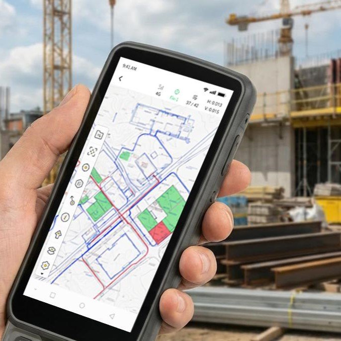
Empowering surveyors, engineers, infrastructure developers and geospatial professionals with reliable surveying instruments, GNSS solutions, total stations, LiDAR technology and field-ready mapping solutions.
Earth View Dynamics Solutions established in 2022. We are a leading wholesaler trader and service provider of a wide range of surveying & leveling instruments like DGPS, Total Station, Drone, Auto Level, Laser Level, Laser Distance Meter & Lab Testing Equipments.
Accurate Data
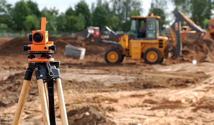
Reliable surveying begins with accurate field measurements and carefully planned data collection.
Modern Technology
We work with modern surveying, positioning, mapping and geospatial technologies suited to different project requirements.
Project-Focused Solutions
Every project has different terrain, scale, accuracy and data requirements. Our approach is focused on identifying an appropriate solution for each requirement.
Comprehensive Capabilities
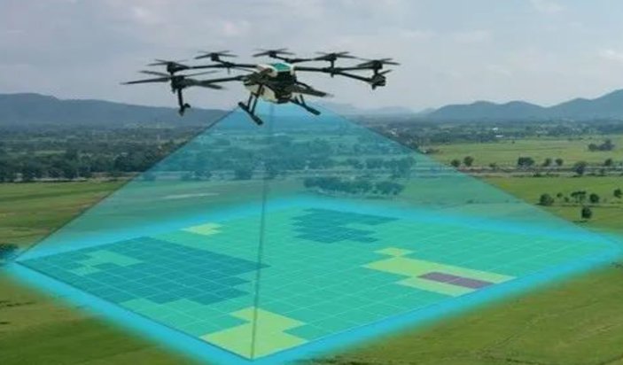
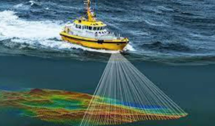
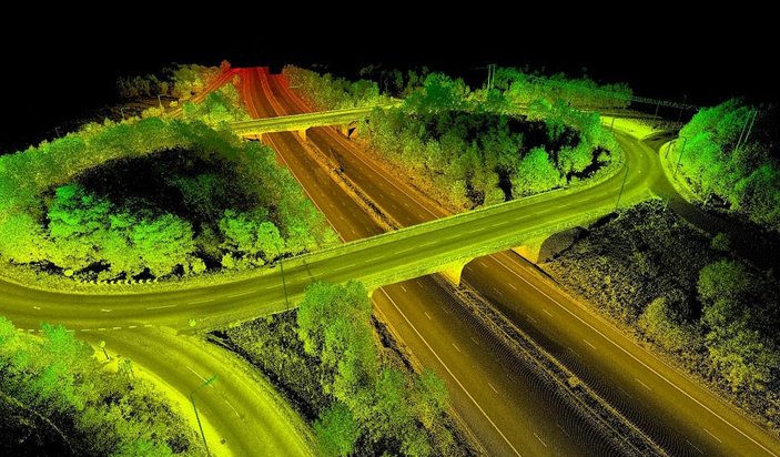
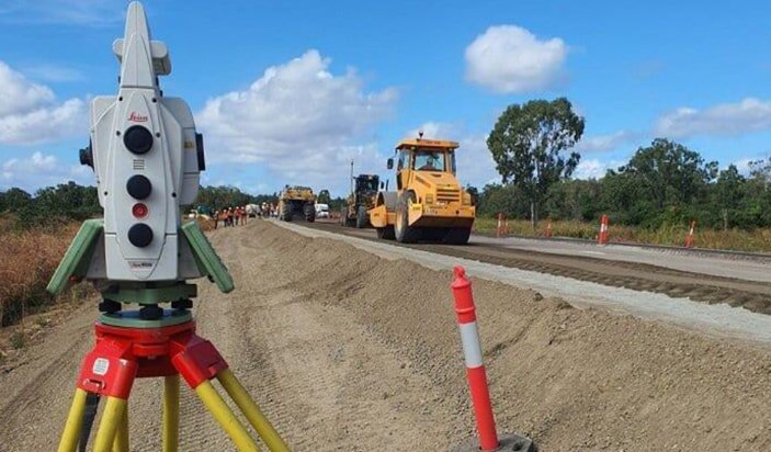
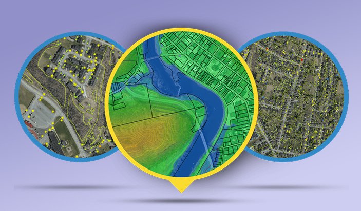
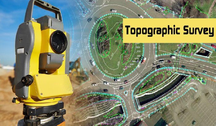
From topographical and aerial surveys to LiDAR, bathymetric, transportation, soil and geospatial solutions, We covers a broad range of surveying requirements.
Advanced Surveying & Geospatial Solutions for Modern Infrastructure
Our approach combines creativity, functionality, and precision to deliver interior design solutions tailored to your lifestyle. From concept to execution, we ensure every detail reflects your taste and enhances your living experience.
Explore our wide range of products
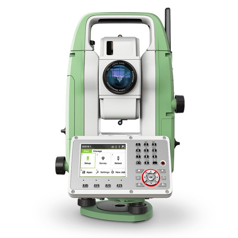
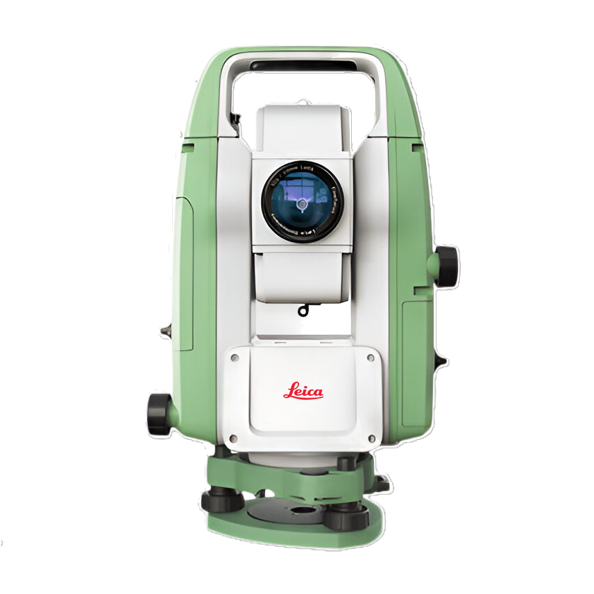
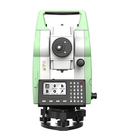
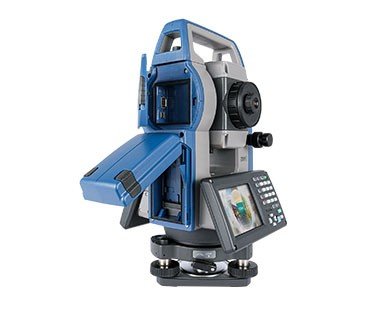
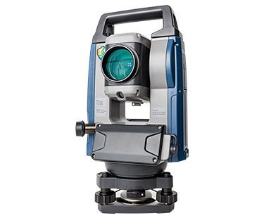
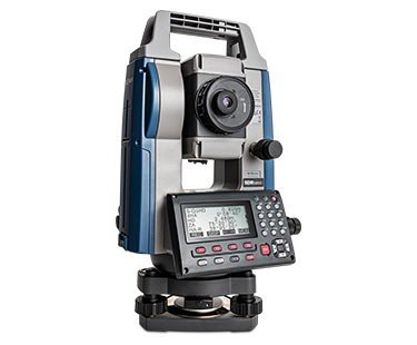
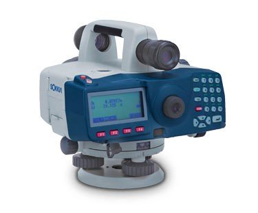
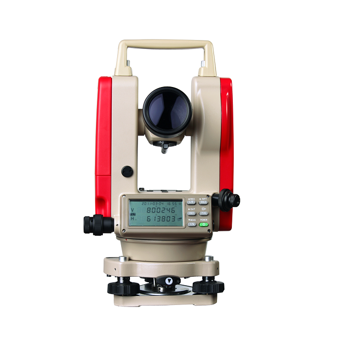
Total Stations
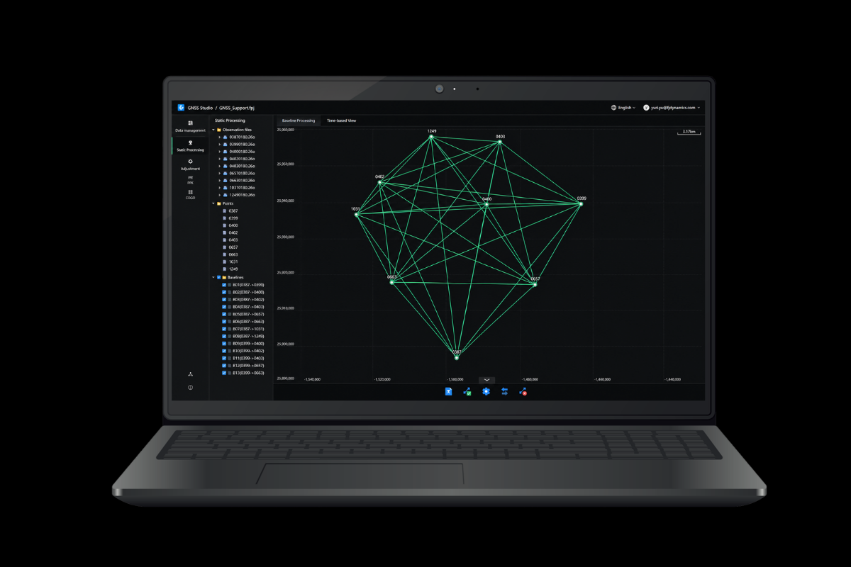
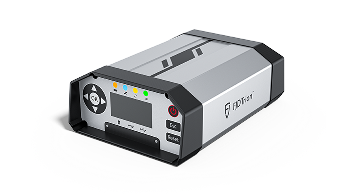
GNSS Systems
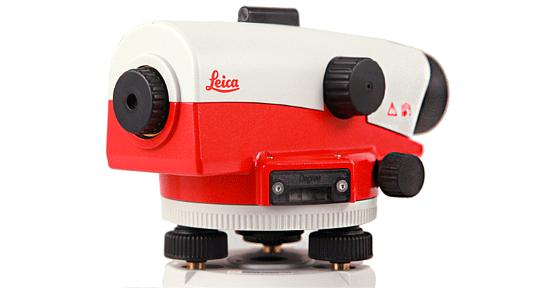
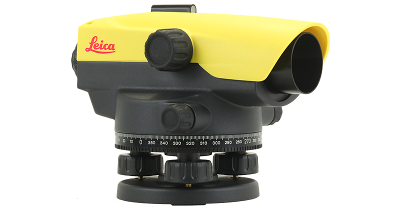
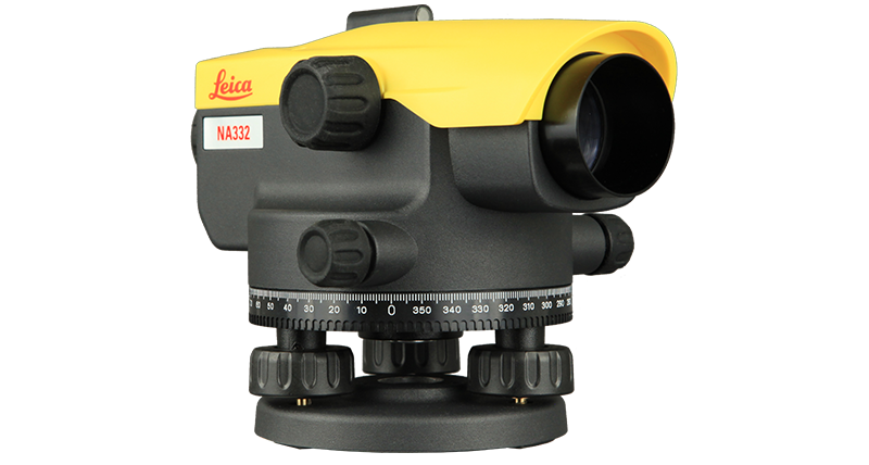
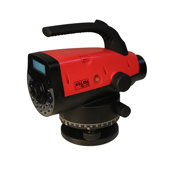
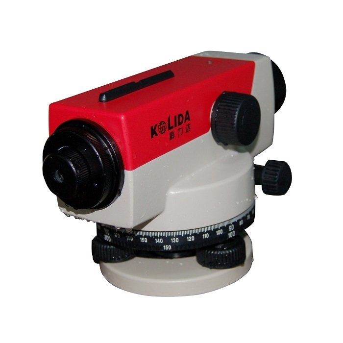
Auto Levels
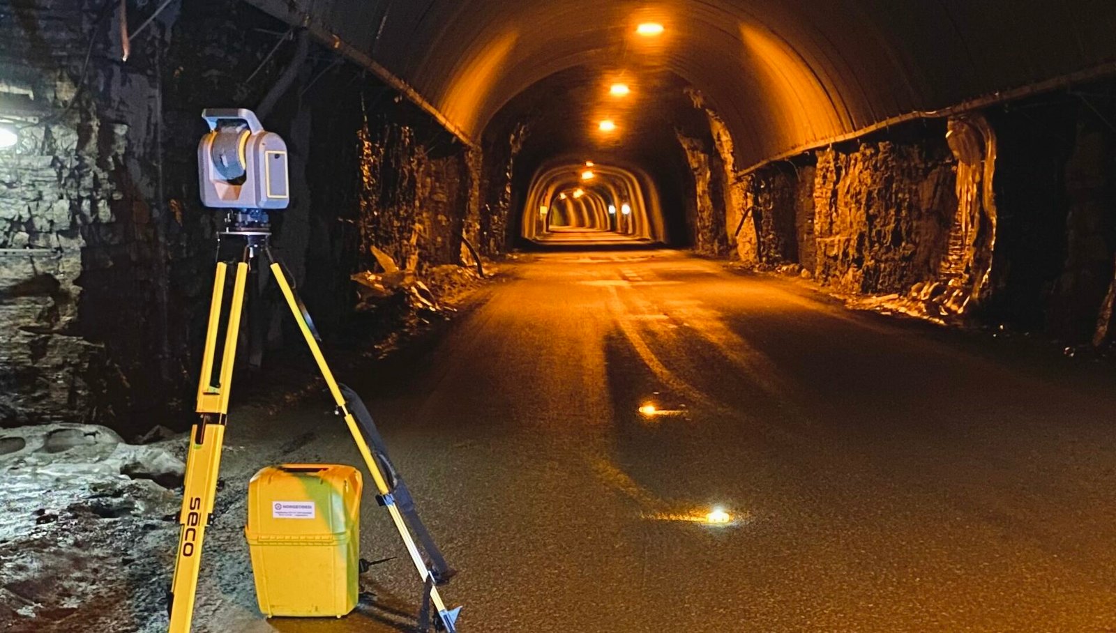
Lidar Scanners
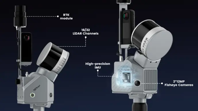
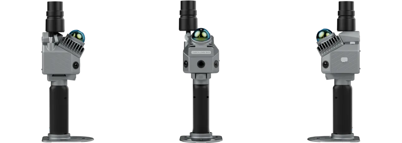
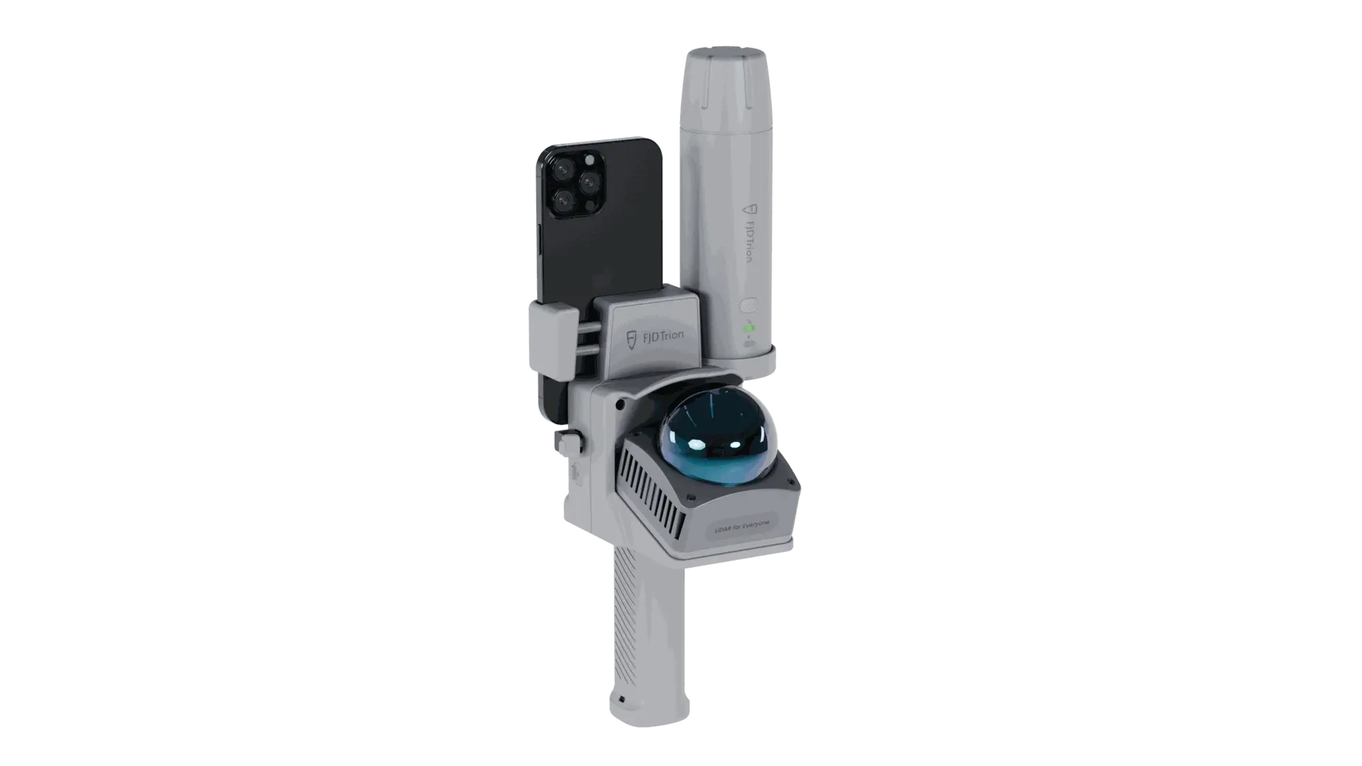
FJD Trion V4e LiDAR.
Your Go-To Choice for Serious Results
The world demands workflows lighter than ever, but still expects the results to be great, as always. FJD Trion V4e LiDAR is built to meet both. More than a scanning device, it is a complete solution designed to turn site reality into usable results with confidence and speed.
Brands We
deals in.
FJD Trion
FJD Trion
FJD Trion

FJD Trion

Our Surveying Process.
From Project Requirement to Reliable Survey Data
Understand
We begin by understanding the project scope, site conditions, objectives and required survey information.
Plan
The appropriate surveying methodology, technology and field requirements are identified according to the project.
Survey
Our team carries out the required field data collection using suitable surveying technologies.
Process
Collected information is processed, organized and prepared according to the project's requirements.
Deliver
Relevant survey data, maps, drawings or spatial information are delivered in the agreed format.
Our
Clients
Tell us about your project, location and surveying requirements — our experts will recommend the most suitable solution for your needs.
Whether you require a Topographical Survey, LiDAR Survey, Aerial Survey, or complete Geospatial Solutions, Earth View Dynamics is committed to delivering accurate data, advanced technology, and dependable support for projects across India.