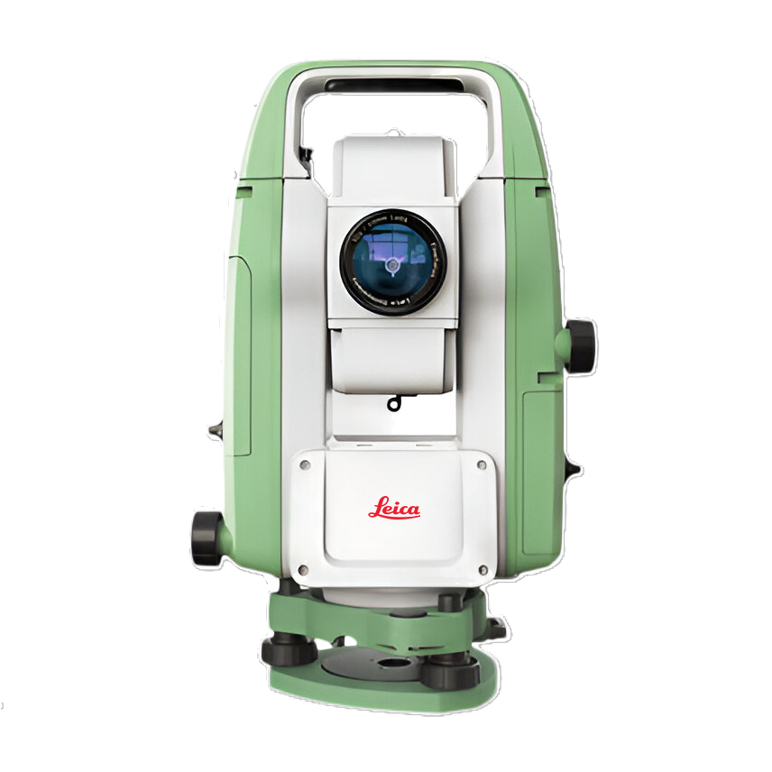
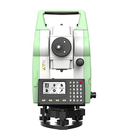
Leica Geosystems — Professional Surveying & Measurement Solutions
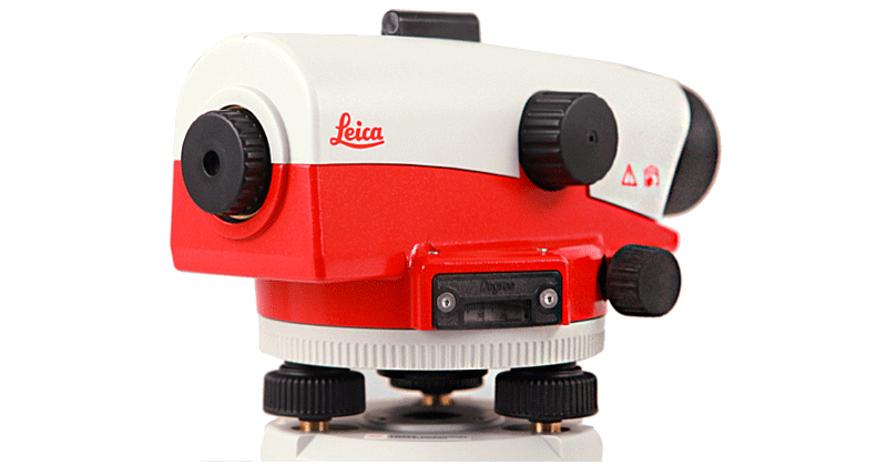
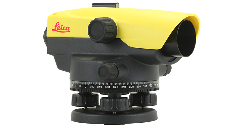
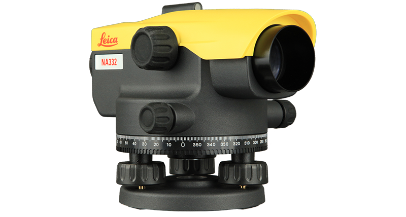
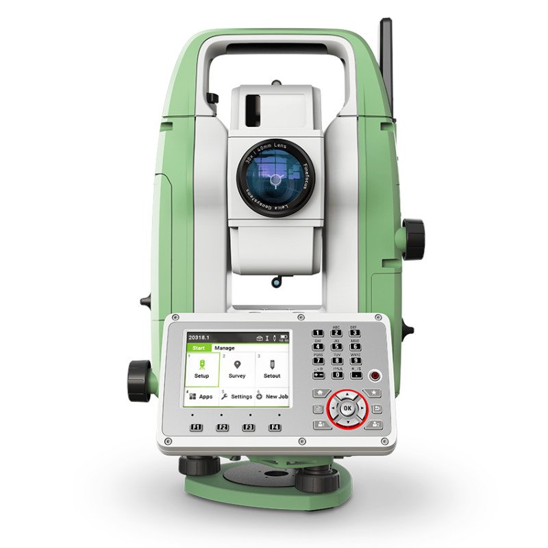
Discover Leica Geosystems’ advanced range of Total Stations, GNSS Systems, Laser Scanners, Levels and Reality Capture solutions, engineered for precise measurement and demanding surveying applications.
Earth View Dynamics brings access to Leica surveying technology for land surveying, construction, mapping, engineering and infrastructure projects, helping professionals collect accurate field data and improve project workflows.
Your Go-To Choice for Serious Results
The world demands workflows lighter than ever, but still expects the results to be great, as always. FJD Trion V4e LiDAR is built to meet both. More than a scanning device, it is a complete solution designed to turn site reality into usable results with confidence and speed.
Whether you require a Topographical Survey, LiDAR Survey, Aerial Survey, or complete Geospatial Solutions, Earth View Dynamics is committed to delivering accurate data, advanced technology, and dependable support for projects across India.