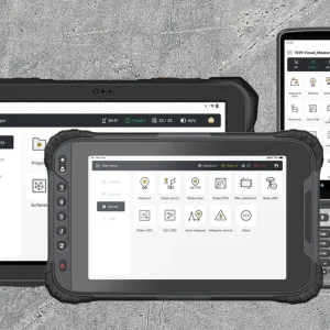


One Software, Complete field workflow
Trion Survey is a GNSS field controller software that integrates surveying and construction workflows within a single application. It supports field surveying and data export, in-field design creation, data import, stakeout, as-built surveys, and reporting.
This workflow enables users to complete the full digital construction cycle from a single device—from initial surveying through design, layout, as-built documentation, and final reporting. Cloud-based data exchange also allows optional data import and export between the office and the field when required.
Global Coordinate Systems
Over 6,000 predefined coordinate systems worldwide, with grid and geoid models available online for use and setup.
Multi-Layer Support
Supports DWG, DXF, SHP, KML, XML, and WMS/WFS files with full layer structure preserved for direct use in the field.
CAD Stakeout
Loads CAD drawings quickly and shows them clearly.
Let you stake out directly from the drawing for better accuracy and faster field work.
Visual Measurement
Supports AR stakeout and visual measurement including video, laser, and point cloud.
Through intuitive visual workflows, users can complete positioning and measurement tasks directly from what they see.